287
FXUS65 KPSR 281741
AFDPSR

Area Forecast Discussion
National Weather Service Phoenix AZ
1041 AM MST Tue Apr 28 2026

.UPDATE...18Z Aviation Discussion.

&&

.KEY MESSAGES...

- Near normal temperatures through mid week will turn hotter going
  into the weekend with lower desert highs into the nineties as
  early as Friday.

- A weather system for Thursday may bring scattered showers and a
  few isolated thunderstorms with the best area of focus across
  southeast Arizona.

&&

.SHORT TERM /TODAY THROUGH WEDNESDAY/...
The quiet weather will continue today under dry westerly flow.
However, a slight bump in upper level heights compared to
yesterday will provide a boost to temperatures as daytime highs
rise into the mid 80s today. Additionally, a Pacific weather
system roughly 900 miles west of southern California will
gradually strengthen and start to make more eastward progress
today into Wednesday. Farther to the south, a modestly strong
sub-tropical jet will begin to drift northward connecting with
the Pacific disturbance. The northward push of the jet will also
help to usher in a good amount of upper level moisture and clouds
by tonight and likely through Wednesday. Despite the increase in
clouds over at least southern and eastern Arizona on Wednesday,
temperatures should rise another 2-3 degrees with the warmest
spots potentially reaching 90 degrees.

&&

.LONG TERM /THURSDAY THROUGH MONDAY/...
The uncertainty with the Pacific weather system is still an issue,
but model trends over the past 24 hours have pulled the track more
to the south across northern Mexico. If these trends hold true,
the system should bring less impacts to our area than previously
thought. The latest NBM PoPs reflect the more expected southern
track with PoPs decreasing by an average of 10-15% from the
forecast package 24 hours ago. PoPs now show 10-25% across the
south-central Arizona lower deserts to at most 30-40% over the
eastern Arizona higher terrain. The more southern track would lead
to less moisture and instability, so the chance for any isolated
thunderstorms has also gone down to more of a 5-10% chance on
Thursday. In addition to the lower rain chances, forecast
temperatures have also gone back up for Thursday with readings now
back into the upper 80s in the Phoenix area to the lower 90s
across southeast California.

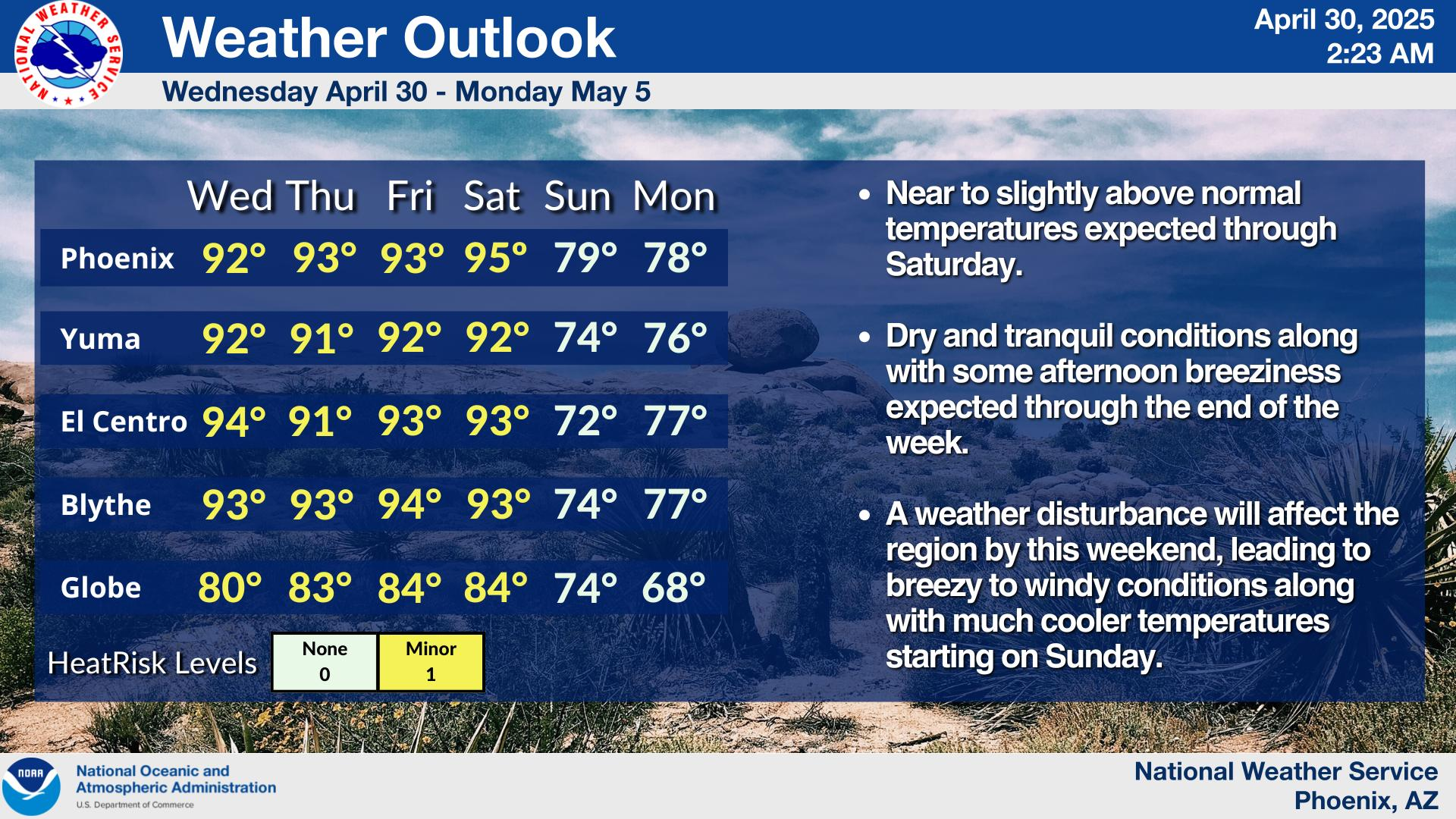
Starting Friday, we may start to have some influence from a ridge
building in from the west. Temperatures may also respond to this
incoming ridge with highs rising into the mid 90s across the
western lower deserts to the lower 90s in the Phoenix area.
Another developing Pacific low off the coast of California over
the coming weekend may cause the ridge to amplify even more across
our region potentially pushing daytime highs into the upper 90s
by Sunday. Eventually, this large Pacific low is favored to inch
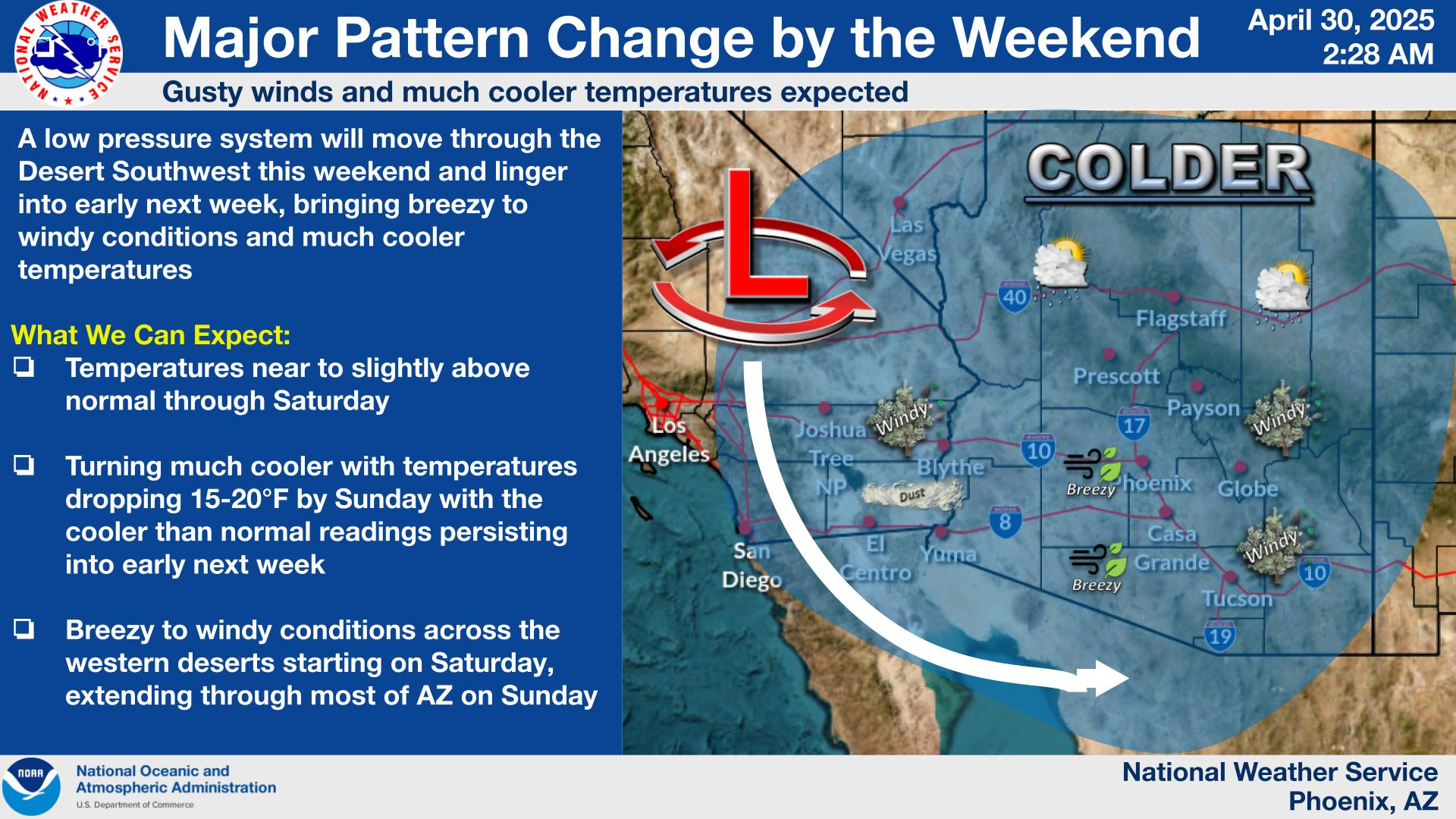
into our region early next week resulting in a return of breezy to
windy conditions, cooler temperatures, and possibly some higher
terrain rain chances.

&&

.AVIATION...Updated at 1740Z.

South Central Arizona including KPHX, KIWA, KSDL, and KDVT:
No major aviation concerns are expected through the TAF period.
Winds will follow typical diurnal tendencies, with speeds below
10 kts. High clouds will progressively thicken throughout the
period to SCT-BKN.

Southeast California/Southwest Arizona including KIPL and KBLH:
No major aviation concerns are expected through the TAF period.
Expect periods of light and variable throughout the afternoon with
W-NW winds continuing to prevail throughout the rest of the
forecast period at KIPL. At KBLH S-SE winds expected this
afternoon shifting W-NW by this evening with periods of light and
variable. Wind speeds have relaxed and will remain below 10 kts,
with mostly clear skies this afternoon and increasing high clouds
anticipated later this evening.

&&

.FIRE WEATHER...
Dry conditions along with warming temperatures will be observed
through Wednesday. Winds will remain fairly light following
diurnal trends. MinRH values will drop further reaching 10-15%
both today and Wednesday. Overnight recoveries will also become
generally poor by Tuesday night/Wednesday morning as values
decrease toward 25-40%. A weather system is then forecast to move
just to south of the region centered on Thursday leading to
increased RH and chances for rain focused more toward southeast
Arizona.

&&

.PSR WATCHES/WARNINGS/ADVISORIES...
AZ...None.
CA...None.
&&

$$

SHORT TERM...Kuhlman
LONG TERM...Kuhlman
AVIATION...95/Ryan
FIRE WEATHER...Kuhlman
NWS Phoenix (PSR) Office
